Carboniferous Geology in Roundhay Park
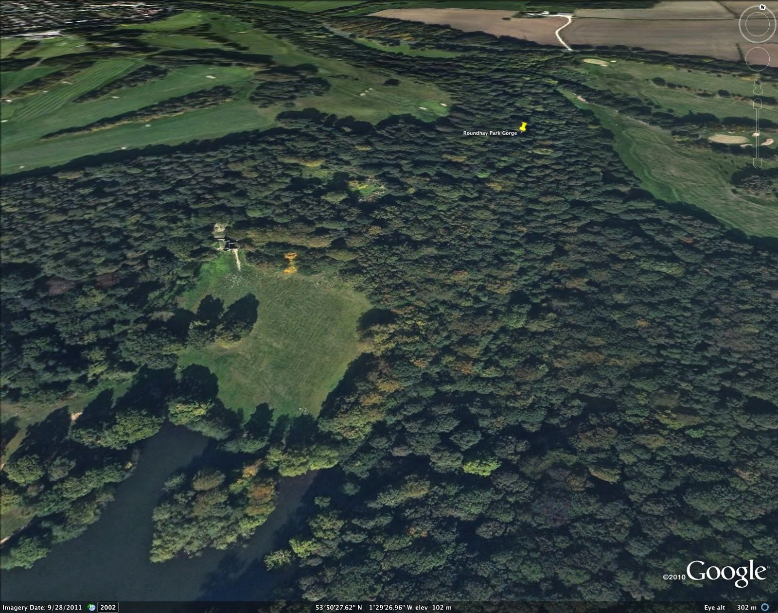
Remembering my old running, cycling, tree-climbing haunt of Roundhay Park (North Leeds) today I thought I'd show some pictures related to the geology of the place. Firstly here's a GoogleEarth view of the northern end of Waterloo Lake, with 'The Folly' at the top of the grassy slope and 'The Gorge' snaking away beneath the sea of trees. There's a wealth of fascinating geology obscured beneath this tree cover.
This LIDAR image sees through the trees to the underlying topography, spectacularly revealing the sinuous course of the stream in the gorge and the outcrops of the Rough Rock sandstone body exposed at higher elevations on either side of the gorge:

More than a decade ago (2002), I posted online a guided tour I'd developed in the 1980s. The tour started at the upper lake, went past the folly then along the West side of the gorge before descending to the stream and continuing back down the east side of the gorge towards the east side of Waterloo Lake. This route was later (2008) adopted in a guide made by the Leeds Geological Association with the Friends of Roundhay Park.

You'll see there's a fault, shown in red, where the gorge meets Waterloo Lake, with Elland Flags to the South and older Rough Rock sandstones and mudrocks to the North.
The vertical order of the different rock types is shown in the following sketch, representing about 250 m of stratigraphy:

Looking back at the sketch map you'll see that the younger (Westphalian) Elland Flags have been faulted down to the South (by roughly 150-180 m) to lie next to the older (Namurian) Rough Rock sandstones and underlying mudstones.
A couple of "marine bands" are shown on the sketch of the vertical section and they are fun because they contain marine fossils in the form of goniatites, bivalves and fish. Here is a piece of shale from the gorge containing fossils of the long-extinct goniatites, something looking a bit like a modern nautilus in life.

These are from the Cancelloceras cumbriense marine band and are just a few cm across. Fully grown examples could reach about 10 cm across.
You can also find scallop-like bivalved molluscs ('paper-pectens'), like these Dunbarellas, in the marine bands:

Imagine these animals alive in an ancient tropical Yorkshire sea (drawing from a talk in 2000). The lower image shows what Adobe firefly made of my old sketch.


The bit of Earth called Yorkshire these days was very close to the equator when these animals were alive, a little over 300 million years ago (about 320 Ma). The climate in this part of the world was a little different then and a good place to get a feel for what it might have been like is tropical West Central Africa where I lived and worked from 1994 to 1998. Here below (from a talk in 2000) is a comparison made between a high sinuosity stream through the forest in Gabon and a unit of lateral accretion in a channel-fill sandstone at Swillington brickpit (SE Leeds).

If you ever do this walk along the gorge and around the lake you could finish off with a visit to "Tropical World" by the entrance to the park and get a hint of a flavour of that ancient Carboniferous Leeds.


Comments
Post a Comment